Houses with good pictures sell faster than those with poor or no photos. Drones can now be used to take real estate to the next level using modern technologies. Sellers establish a better profile of a building or property using a combination of photographs and drones.
Photographs taken from an elevated position give apartments and residences that appear ordinary from the ground level an aesthetic boost. It is critical to display items that are enticing to potential purchasers. Aerial photography reveals those details in more detail.
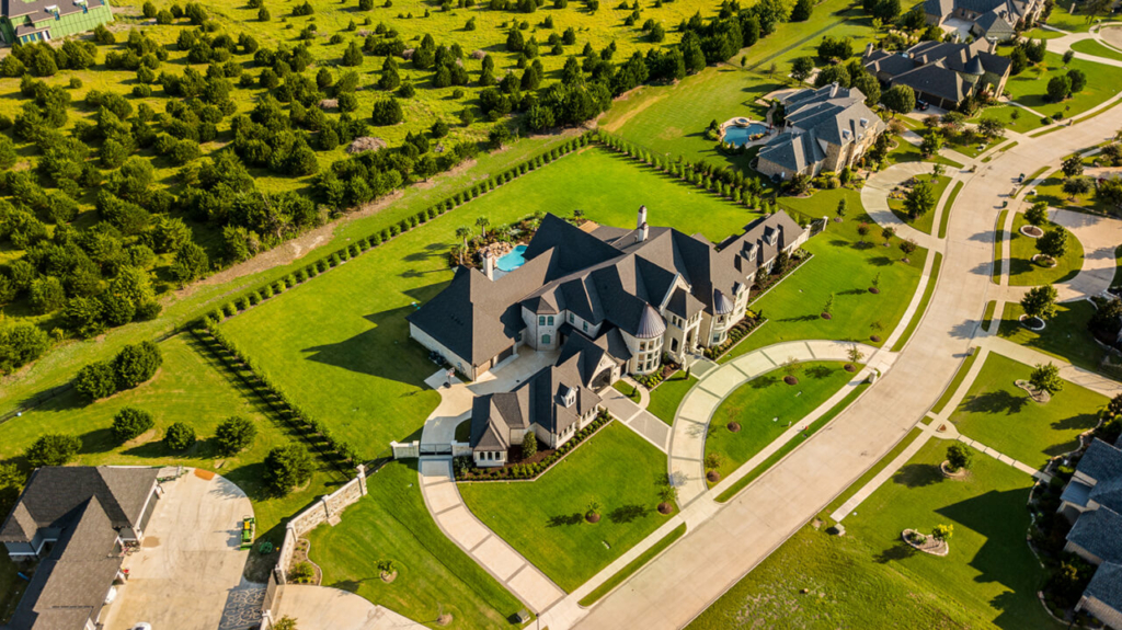
A home with the entire block as a backdrop conveys information about the property’s location and size. It provides a more comprehensive view than the traditional tools utilized by sellers and real estate experts. Aerial photography provides a better view of things like land and gardens. It describes the features of the for-sale real estate.
Drones are utilized to videotape the house and surrounding region, in addition to assisting property owners in creating a presentation. Using a combination of videos and images, a seller may show a potential buyer certain aspects of the property that are difficult to display with traditional photography.
Buyers are more likely to pay attention to a home after watching a video. Today’s homebuyers are more informed about their purchasing options than previous generations. Before contacting a realtor, they conduct research by looking at prices and exploring listings. Professional video and photography might mean the difference between being overlooked and being given a second chance.
Buyers adore having a bird’s eye view. They prefer aerial photography and video for evaluating properties because it gives them a first-hand experience. It offers a fresh viewpoint. Buyers are pleased with their decisions to pursue a property.
Real estate agents are taken seriously when they use high-quality materials in their listings. Professionals produce high-quality goods. They make a property and its features look spectacular by using their professional eye, tools, and skills.
These materials can help decrease the time a home is on the market and increase the asking price. Let’s look at the five questions that make up an educational article: what, why, when, who, and where to use aerial drone photography to sell real estate.
How Does Aerial Photography Work?
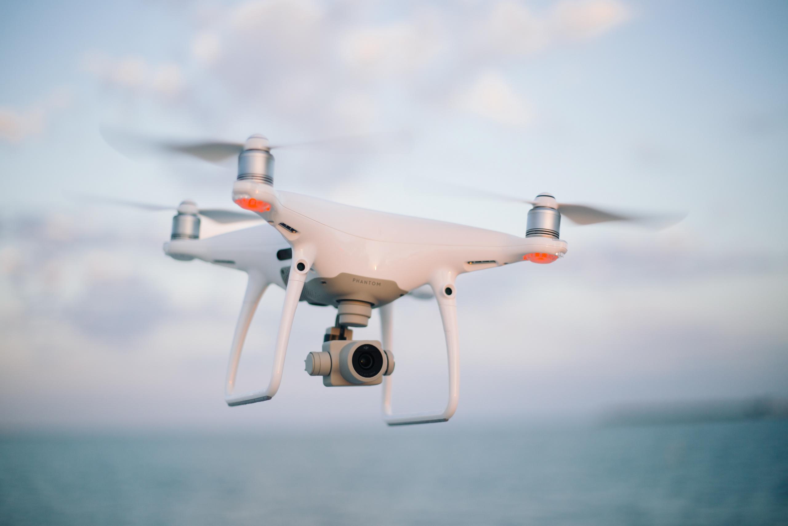
A drone with a camera attached that is flown over a property by a pilot on the ground is known as real estate aerial photography. The pilot captures still photographs and films, which differ based on the camera and drone used. Quality images aren’t taken by just any small device.
A 4K camera should be included in real estate drones. They may appear to be costly until realtors compare them to the old-school technique. They paid thousands of dollars to hire a helicopter pilot and a professional photographer ready to hang off the side of the chopper to obtain the perfect shot. Aerial photography using drones is a more viable and safe option.
What Are the Benefits of Drone Photography?
Drone photography is a step forward from regular photography. It allows buyers to gain a better sense of the land’s layout. According to MLS (Multiple Listing Service) statistics, properties featuring aerial photos sell 68 percent faster than those without.
It’s an opportunity to construct a picture of what a buyer will have if they acquire the house, in order to create a feeling or atmosphere for their lifestyle. They flow from one aspect to the next rather than flicking back and forth with separate static photographs.
When Is It Appropriate to Use Drones?
It is not always required to use aerial real estate imagery. The asking price, possible earnings, the broader market, and the type of property all play a role. When highlighting distinctive aspects that are difficult to portray, aerial photography drone photographs are commonly used.
Aerial photography is beneficial to properties with scenic vistas, land with a lot of acres, commercial property, and higher-end or large homes. It provides a better vantage point from which perspective customers may put the puzzle pieces together while sitting in front of a computer.
Who Should Be in Charge of Drone Photography?
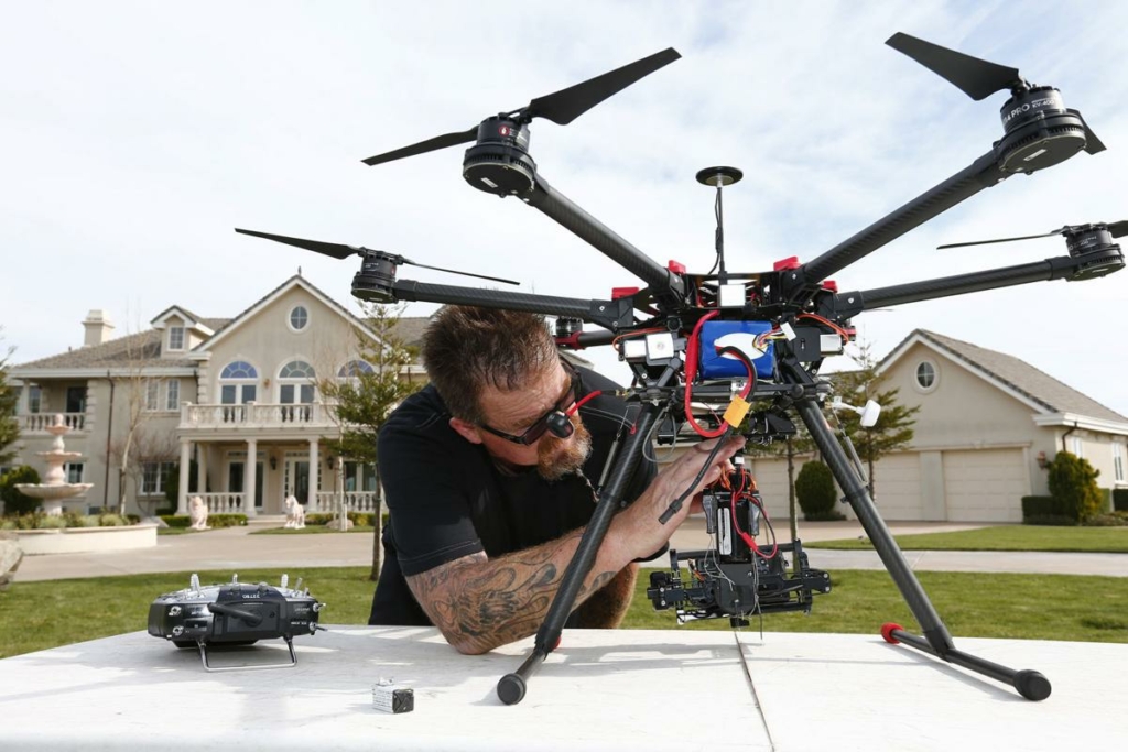
A drone cannot be purchased to shoot photographs in order to sell a home. A company also can’t pay a real estate agent to do it unless the agent complies with FAA rules. Hiring a trained operator will save you money in the long run and keep you out of problems with the law. Most real estate investors do not own a drone.
Aerial movies and images are available from a variety of companies. The services available are diverse. It is dependent on the size of the property and the amount of square footage. The average price per square foot is between $200 and $500. Check to see if the business is insured and licensed. Examine previous projects to ensure you’re obtaining the grade and quality you desire.
Aerial Photography Is Captured Where?
Drone aerial shots should capture hard-to-see but important elements like the roof’s condition, sweeping views, and pictures of the entire property. Take note of any exciting aspects, such as its proximity to a walkway that leads to a fun location or the beach.
If the home is on the water, use the drone to show potential buyers how to get to it from the canal and record magnificent water views. A few blocks away, the drone can highlight community pools, hiking pathways, and the restaurant scene. It can walk down a street, down a driveway, and through the front door as if it were a human being.
What Are the Best Shots to Take?
Include the following aerial photography video shoots.
- The height of aerial videos is the orbit. They generate a continuous loop around a fixed-horizon characteristic.
- Use the rise and reverse away technique, which begins with a closeup of a subject and gradually reverses away while increasing latitude.
- The cable slide pan is difficult to pull off, but worth it. Fly the drone in a straight line parallel to a target location. While the camera is fixed on a given spot, pan it.
- Begin with a low focus on the property to create an upward reveal. Slowly raise the height while slowly panning down.
- The reversal of the reverse and fly away is the descent.
- The above view is the most spectacular and easiest to achieve. The camera is directed straight down and the altitude is gradually increased. As you acquire altitude, slowly rotate the drone.
Recap
The highly competitive real estate market Is constantly shifting with the trends. The challenges a real estate agent faces have grown considerably. Listings must catch the eye among a crowd of listings. With the increase in demand for offices and houses, the competition also increases.
Real estate agents need to adopt trends and perform differently than others in the industry. Aerial photography is among the most remarkable, engaging tricks. The benefits include
- Creating an impressive image of the property
- Showing off a property’s highlights
- Increasing inquiries
- Increasing the value of the property
- Increasing the return on investment
Aerial photography isn’t just for high-end real estate. Drone footage can help you sell almost any listing for a few hundred dollars. It’s a unique viewpoint that gives potential buyers a bird’s-eye view of their future home.
